
Drone-Assisted Wildlife Damage Mapping
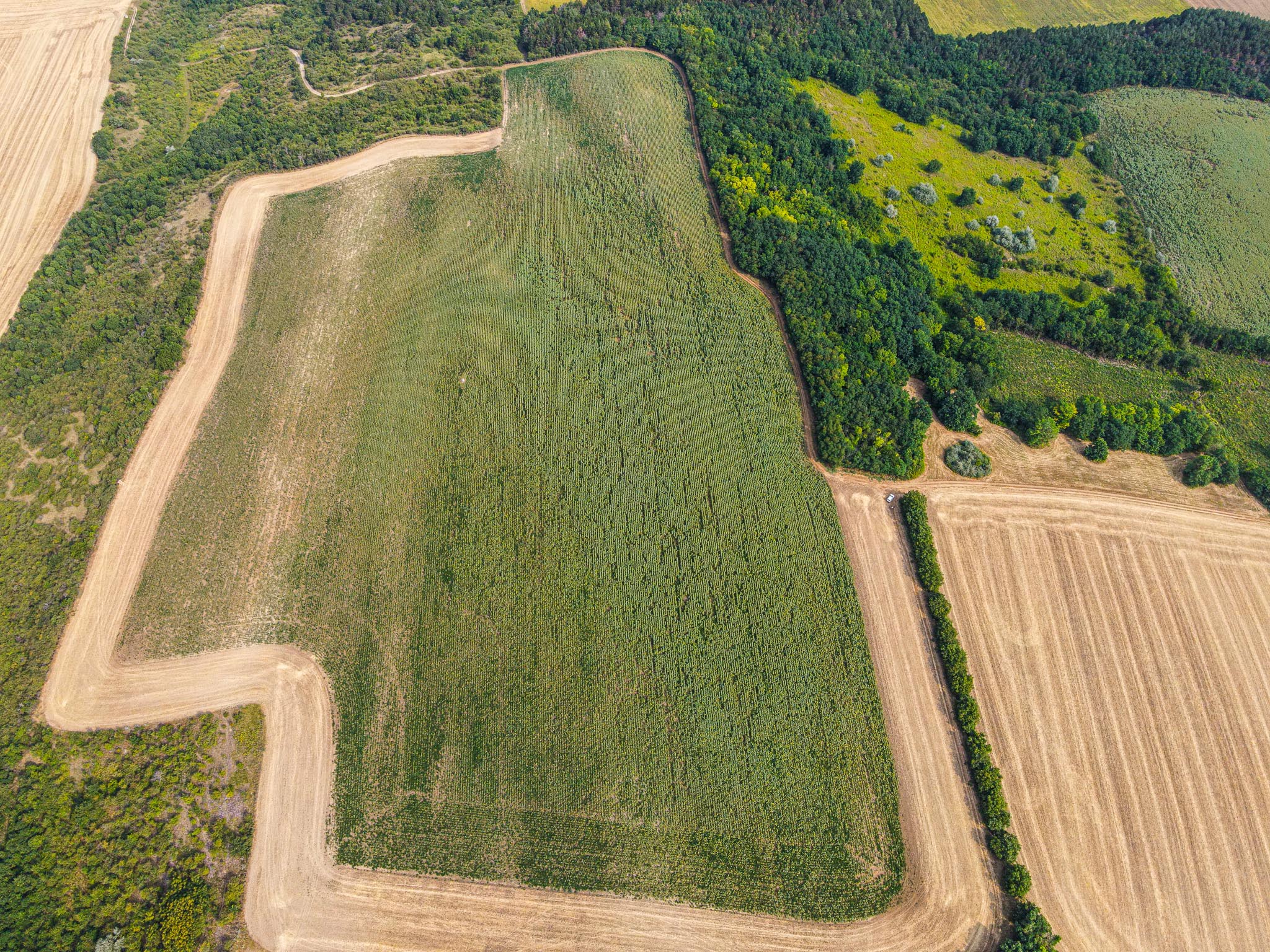
Has wildlife damage occurred on your arable land, and instead of estimates would you like to know its exact extent and exposure? During our assessment we do not rely on traditional methods prone to error instead, we use the most advanced technology to precisely determine the scale of the damage. A formal report is prepared from the survey, providing indisputable proof of the extent of the loss. With this document, the damage can be accounted for accurately and cannot be disputed. And if a court decision is required to reach a settlement, it also serves as decisive and official evidence.
Discover Our Package Offers!
Select the best suitable package for you and unlock the next level of efficiency in your farming.
